 国际贸易地理

《国际贸易地理》由会员分享,可在线阅读,更多相关《国际贸易地理(77页珍藏版)》请在装配图网上搜索。
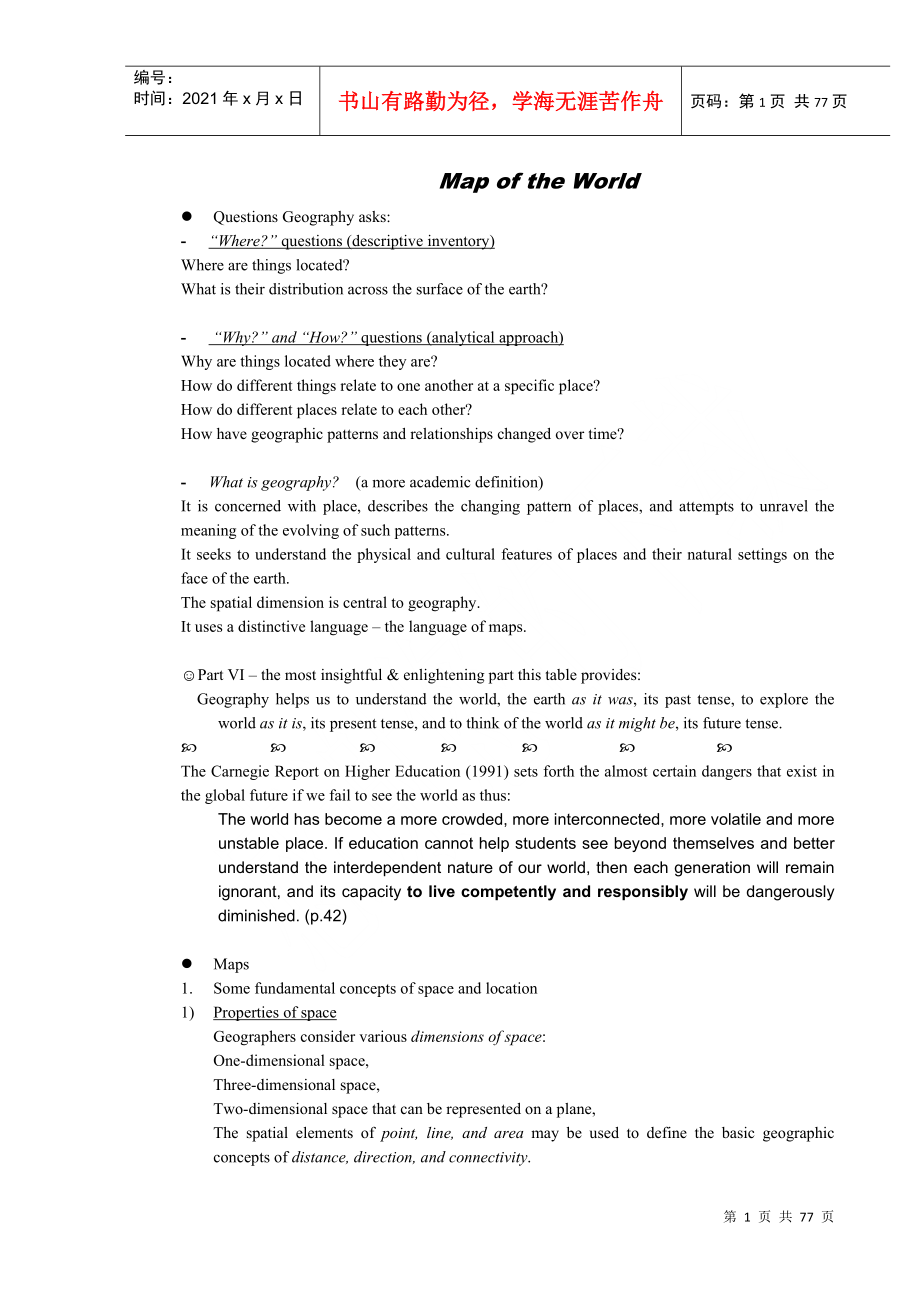
1、编号:时间:2021年x月x日书山有路勤为径,学海无涯苦作舟页码:第77页 共77页Map of the Worldl Questions Geography asks:- “Where?” questions (descriptive inventory)Where are things located? What is their distribution across the surface of the earth?- “Why?” and “How?” questions (analytical approach)Why are things located where they a
2、re?How do different things relate to one another at a specific place?How do different places relate to each other?How have geographic patterns and relationships changed over time?- What is geography? (a more academic definition)It is concerned with place, describes the changing pattern of places, an
3、d attempts to unravel the meaning of the evolving of such patterns.It seeks to understand the physical and cultural features of places and their natural settings on the face of the earth.The spatial dimension is central to geography.It uses a distinctive language the language of maps.Part VI the mos
4、t insightful & enlightening part this table provides: Geography helps us to understand the world, the earth as it was, its past tense, to explore the world as it is, its present tense, and to think of the world as it might be, its future tense. The Carnegie Report on Higher Education (1991) sets for
5、th the almost certain dangers that exist in the global future if we fail to see the world as thus:The world has become a more crowded, more interconnected, more volatile and more unstable place. If education cannot help students see beyond themselves and better understand the interdependent nature o
6、f our world, then each generation will remain ignorant, and its capacity to live competently and responsibly will be dangerously diminished. (p.42)l Maps1. Some fundamental concepts of space and location1) Properties of spaceGeographers consider various dimensions of space:One-dimensional space, Thr
7、ee-dimensional space,Two-dimensional space that can be represented on a plane,The spatial elements of point, line, and area may be used to define the basic geographic concepts of distance, direction, and connectivity.2) Two kinds of locationAbsolute location (site) is position in relation to a conve
8、ntional grid system, such as latitude and longitude or street addresses;Relative location (situation) is position with respect to other locations. It is a measure of connectivity and accessibility, and it usually changes over time. The concept of relative location is of greater interest to economic
9、geographers than absolute location.2. The language of mapsCartographers & Cartography a graphic portrayal of location1) Scale 2) Parallels of Latitude & Meridians of LongitudeBoth latitude and longitude are measured in degrees, minutes, and seconds.F Equator a latitude of 0All other latitudinal line
10、s are parallel to the equator and to each other and therefore are called parallels. Every point on a given parallel has the same latitude.Places north of the equator are in north latitude; or v.s. south latitude.The North Pole is 90N; the South Pole 90S.Places near the equator are in low latitude; P
11、laces near the poles, high latitude.The Tropic of Cancer, at 23.5N, and the Tropic of Capricorn, at 23.5S.The Arctic Circle, at 66.5N, and the Antarctic Circle, at 66.5S.Places between tropic and circle lines are said to be in middle latitude.F Meridian of Greenwich or prime meridian a longitude of
12、0Meridians of longitude are straight lines connecting the poles. Every meridian is drawn due north and south. They converge at the poles and are farthest apart at the equator.Places east (west) of the prime meridian are in east (west) longitude.The meridian of 180, exactly half way around the world
13、from the prime meridian, is the other dividing line between places east and west of Greenwich.F The combination of latitude and longitude give us absolute location.3. Our GlobeF Northern Hemisphere contains the bulk of the worlds land and most of the principal centers of population and industry, it
14、therefore is called the “land hemisphere”, constitutes 80% of the worlds total land area and has approximately 91% of the worlds population.F Southern Hemisphere, or “water hemisphere”, has only 20% of the land and 9% of the population.4. Different maps, different standings, & different perspectives
15、 of the worldCenter & Margin, or Core & Periphery (ethnocentrism)l The Field of Geography- Geography as a synthesizing discipline- Geography of International TradeIn the case of this course, it focuses upon one of the worlds most important economic activities, the international trade, and therefore,
16、 it falls within the scope of economic geography.- Trends in Economic GeographyEconomic geography is concerned with the spatial organization and distribution of economic activity, the use of the worlds resources, and the distribution and expansion of the world economy.Commercial geography developed
17、during the era of European exploration and discovery from the 15th century through the 19th century:British scholar G. G. Chisholm (1899)His stated purpose of commercial geography to stimulate intellectual interest in geographic facts relating to trade; Hence, his book was an inventory of commodity
18、and trade statistics, his approach was more descriptive than analytical.Economic geography was affected by 3 major themes of geography:1) Human-environmental relations (flourished until 1930s),environmental determinism Climates, disease, or even the “colored races” are some of the determinants used
19、to justify economic activities. 2) Areal differentiation (influential from the late 1930s to the late 1950s),Adopting the view that all geographic phenomena were unique and that theory building was of little value;Areal differentiation differences rather than similarities among places, resulted in d
20、etailed descriptions of production, exchange, and consumption with voluminous factual data in some of the great regional writing, overlooking the need for comparative studies. Areal differentiation dominated geography at the expense of areal integration.3) Spatial organization (now the dominant appr
21、oach).How space is organized by individuals and societies to suit their own designs; Framework for analyzing and interpreting location decisions and spatial structures;The majority of research in economic geography today remains location theory and analysis. It aims to understand “what” products and
22、 services are produced and “how” they are produced (i.e. with what combination of resources), as well as “where” they are produced and “why there?” The theme of spatial organization is particularly valuable in helping us to understand world development problems. Population and the World Economyl Pop
23、ulation Problems in the World Today The study of population is critically important for 3 reasons:1. More people are alive at this time 6 billion than at any point in Earths long history.2. The worlds population increased at a faster rate during the 2nd half of the 20th century than ever before in h
24、istory.3. Virtually all global population growth is concentrated in less developed countries (LDC). To study the challenge of increasing the food supply, reducing pollution, and encouraging economic growth, geographers must ask where and why a regions population is distributed as it is.1. where is t
25、he worlds population distributed?2. where has the worlds population increased?3. why is population increasing at different rates in different countries?4. why might the world face an overpopulation problem?Geographys focus on answering the where and why questions helps to explain the global populati
26、on problem and to suggest solutions. the worlds overpopulation problem1. Overpopulation problem from the perspective of globalization:This problem is not simply a matter of the total number of people on Earth, but the relationship between the number of people and the availability of resources.Proble
27、ms arise when an areas population exceeds the capacity of the environment to support them at an acceptable standard of living.2. Overpopulation problem from the perspective of local diversity:Overpopulation is a threat in some regions of the world but not in others. Some regions have a favorable bal
28、ance between people and available resources, while others do not. Further, the regions with the most people are not necessarily the same as the regions with an unfavorable balance between population and resources.l Population Distribution1. Population size and population concentrations6 billion peop
29、le;3/4 of the worlds population live on only 5% of Earths surface (which consists of oceans and less intensively inhabited land);The worlds population is clustered in 5 regions: East Asia, South Asia, Southeast Asia, Western Europe, and Eastern North America. And these 5 regions display some similar
30、ities: Most of their people live near an ocean, or near a river with easy access to an ocean, rather than in the interior lands. E.g. the Pacific coast, Huang and Yangzi River valleys, the coastlines of the Arabian Sea and the Bay of Bengal (孟加拉湾), the plains of Ganges river (恒河),Indo-china, the Atl
31、antic coast of North America, the Great Lakes, etc. They occupy generally low-lying areas (mid-latitude esp.), with fertile soil and temperate climate. They are all located in the Northern Hemisphere between 10 and 50N, with the exception of part of the Southeast Asia concentration.2. Sparsely popul
32、ated regionsCertain physical environments have some influences on permanent human settlement. Relatively few people live in regions that are too dry, too wet, too cold, or too mountainous for activities such as agriculture: Dry landsLands deficient in moisture are sparsely settled. The largest deser
33、t region, extending from North Africa to Southwest and Central Asia, is known by the Sahara, Arabian, Takla Makan, and Gobi deserts.By constructing irrigation systems, people can survive by growing crops (Oasis).Dry lands may contain natural resources useful to people notably, much of the worlds oil
34、 reserves. Wet landsEquatorial heat and moisture, as in the Congo and Amazon basins, appear to deter settlement. Too much rainfall (precipitation) and heat rapidly deplete nutrients from the soil, thus hindering agriculture. Cold landsFew people live in very cold regions, such as northern Canada, ar
35、ctic Russia (Siberia), and northern Scandinavia. The polar regions receive less precipitation than some desert areas, but over thousands years the small annual snowfall has accumulated into thick ice (permafrost ground). High landsRelatively few people live at high elevations. The highest mountains
36、in the world are steep, snow-covered, and sparsely settled, such as Mount Everest, Alps.3. Population DensityThe measures of density help geographers to describe the distribution of people in comparison to available resources. Arithmetic densityThe total number of people divided by total land area;A
37、rithmetic density answers the “where” question, enabling geographers to make comparisons of the number of people trying to live on a given piece of land in different regions of the world. Physiological densityLand suited for agriculture is called arable land. In a region, the number of people suppor
38、ted by a unit area of arable land is called the physiological density.The higher the physiological density, the greater is the pressure that people may place on the land to produce enough food. Hence, such density measure provides insights into the relationship between the size of a population and t
39、he availability of resources in a region. (eg. US vs. Egypt) Agricultural densityThe ratio of the number of farmers to the amount of arable land; This measure helps explain economic differences. Most Developed Countries have lower agricultural densities because technology and finance allow a few peo
40、ple to farm extensive land areas and feed many people. To understand the relationship between population and resources in a country, geographers examine its physiological and agricultural densities together. F Look at Table 2-1:Egypt and Netherlands: the physiological densities of both Egypt (2147)
41、and the Netherlands (1450) are high, but the Dutch (58) have a much lower agricultural density than the Egyptians (737). That means that both the Dutch and Egyptians put heavy pressure on the land to produce food, but the more efficient Dutch agricultural system requires many fewer farmers than does
42、 the Egyptian system.India and Netherlands: the Netherlands (1450) has a much higher physiological density than does India (556), but a much lower agricultural density. This shows that the Dutch have extremely limited arable land to meet the needs of their population (they built dikes and created po
43、lders圩田,围海造田). However, the highly efficient Dutch farmers can generate a large food supply from a limited resource. (Dutch Lady, no Egyptian Lady, J)l Where has the worlds population increased?1. Measures of population change Crude birth rate (CBR): The total number of live births in a year for eve
44、ry 1000 people alive in the society; A CDR of 20 means that for every 1000 people in a country, 20 babies are born over a 1-year period. Crude death rate (CDR):The total number of deaths in a year for every 1000 people alive in the society. Natural increase rate (NIR): NIR (%) = CBR - CDRThe percent
45、age by which a population grows in a year.e.g. NIR = CBR (20) CDR (5) = 15 per 1000 = 1.5%“Natural” means a countrys growth rate excludes migration.During the 1990s, the world natural increase rate was 1.5, meaning that world population grew each year by 1.5%. This rate affects the doubling time, wh
46、ich is the number of years needed to double a population, assuming a constant rate of natural increase. At the current NIR of 1.5% per year, world population would double in about 50 years.2. Distribution of natural increase of worlds population Distribution of natural increase rate:It shows very la
47、rge regional differences. The NIR exceeds 3.0% in a number of countries in central Africa, the Middle East, and Central America. At the other extreme, the NIR rate is 0% or even negative in much of Europe, meaning that their population is actually declining in the absence of immigrants. Distribution
48、 of population growth:All the growth is concentrated in poorer countries. Over the past 3 decades, about 54% of the worlds population growth has been in Asia,15% each in sub-Sahara Africa and the Middle East,10% in Latin America;Europe and North America each account for only 3% of global population
49、growth. Regional differences in NIR mean that virtually all the worlds additional people live in the countries that are least able to maintain them.Wetlands A wetland is a vegetated area that is permanently or periodically covered by water, either fresh or salt. Marshes, swamps, bayouts and bogs are
50、 among the typical wetland environments. Wetlands are among the most productive ecosystems on earth. As hybrid environment neither land nor water, wetlands provide living space and food to different species. Video script: “The worlds wetlands are in danger. People ditch them, drain them, dike them,
51、dump waste into them, and drown them behind dams. Swamps, bogs, and marshes are lost to create land to farm or build upon. As a consequence, the worlds losing its natural water filter, its buffers against floods and erosions, and the critical habitats and nurseries for a myriad of species.” The 1971
52、 Ramsar Convention aims to designate and preserve wetlands and protect wildfowls. By the late 1990s, more than 100 countries have signed the treaty.l Why is population increasing at different rates in different countries?1. The demographic transitionAll countries have experienced some changes in nat
53、ural increase at different times and at different rates. While rates vary among countries, a similar process of change in a societys population, know as demographic transition, is operating.The demographic transition is a process with several stages, and every country is in one of them. The process
54、has a beginning, middle, and end, and it is irreversible. Once a country moves from one stage of the process to the next, it does not revert to an earlier stage. F Figure 2-13 1Stage 1 Low Growth very high birth and death rates produce virtually no long-term natural increase:For most of human kinds
55、several hundred-thousand-year occupancy of Earth, they were in stage 1 of the demographic transition. The natural increase rate was essentially zero, and Earths population was unchanged, at perhaps one-half million. During most of this period, people depended on hunting and gathering for food.Betwee
56、n 8000 B.C. and A.D. 1750, Earths human population increased from approximately 5 million to 800 million. The burst of population growth around 8000 B.C. was caused by agricultural revolution, which was the time when human beings first domesticated plants and animals. Despite such revolution, the hu
57、man population remained in stage 1, because food supplies were still unpredictable due to climatic conditions, wars or diseases that stayed out of human control.Most of human history was spent in stage 1 of the demographic transition, but today no such country remains there. Every country has moved
58、on to at least stage 2 and with that transition has experienced profound changes in population.Stage 2 High Growth rapidly declining death rates combined with very high birth rates produce very high natural increase:After around A.D. 1750, the worlds population suddenly began to grow 10 times faster
59、 than in the past. The sudden burst of population growth occurred because in the late 18th and early 19th centuries several countries moved into stage 2 of the demographic transition. Why?Countries entered stage 2 of the demographic transition after 1750 as a result of the industrial revolution whic
60、h began in England in the late 18th century and spread to the European continent and North America during the 19th century. Major improvements in industrial technology transformed the process of manufacturing and transporting, which resulted in an unprecedented level of wealth. The wealth was also u
61、sed to improve sanitation and personal hygiene. As a result of such public improvements, people were healthier and lived longer.Whereas countries in Europe and North America entered stage 2 about 1800, stage 2 diffused to countries in Africa, Asia and Latin America much more recently, in most cases
62、after 1950. And the recent push of countries into stage 2 has been caused by medical revolution. Improved medical practices suddenly eliminated many of the traditional causes of death in LDCs and enabled more people to have longer and healthier lives.Stage 3 Moderate Growth birth rates rapidly decli
63、ne, while death rates continue to decline; natural increase rates begin to moderate:European and North American countries generally moved from stage 2 to stage 3 of the demographic transition during the 1st half of the 20th century. Some countries in Africa, Asia and Latin America have moved to stag
64、e 3 in recent years, while others remain in stage 2.The crude death rate declined in stage 2 following introduction of new technology into the society, but the crude birth rate declines in stage 3 because of changes in social customs. A society enters into stage 3 when people choose to have fewer children. Such decision of families is partly a delayed reaction to a decline in death rate. Economic changes in stage 3 societies, the process of urbanizat
- 温馨提示:
1: 本站所有资源如无特殊说明,都需要本地电脑安装OFFICE2007和PDF阅读器。图纸软件为CAD,CAXA,PROE,UG,SolidWorks等.压缩文件请下载最新的WinRAR软件解压。
2: 本站的文档不包含任何第三方提供的附件图纸等,如果需要附件,请联系上传者。文件的所有权益归上传用户所有。
3.本站RAR压缩包中若带图纸,网页内容里面会有图纸预览,若没有图纸预览就没有图纸。
4. 未经权益所有人同意不得将文件中的内容挪作商业或盈利用途。
5. 装配图网仅提供信息存储空间,仅对用户上传内容的表现方式做保护处理,对用户上传分享的文档内容本身不做任何修改或编辑,并不能对任何下载内容负责。
6. 下载文件中如有侵权或不适当内容,请与我们联系,我们立即纠正。
7. 本站不保证下载资源的准确性、安全性和完整性, 同时也不承担用户因使用这些下载资源对自己和他人造成任何形式的伤害或损失。
最新文档
- 幼儿园绘本故事当我睡不着的时候课件
- 人教版小学五年级品德与社会上册《五十六个民族五十六朵花》ppt课件
- 人教版小学一年级音乐下册红眼睛绿眼睛ppt课件
- 人教版小学数学四年级上册《数学广角》ppt课件
- 幼儿园优质课件小猫的生日
- 幼儿园科学活动区创设与材料投放课件
- 人教版小学四年级音乐小螺号ppt课件
- 幼儿园科学教育的方法和途径课件
- 开盘前广告策略案课件
- 人教版小学一年级品德与生活《校园铃声》ppt课件
- 人教版小学五年级音乐吹起羌笛跳锅庄ppt课件
- 人教版小学四年级英语下册unit3_weather第三课ppt课件
- 人教版小学一年级上册数学第二单元上下前后ppt课件
- 人教版小学五年级美术第17课电脑动画ppt课件
- 幼儿园优质课件-幼儿园中班“我们都是好朋友”课件
